Wet and Stormy Weather for Friday
- WeatherSD
- Apr 26, 2024
- 1 min read
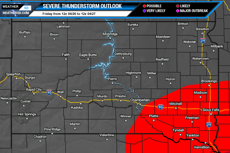
A low-pressure system has already produced rain showers and thunderstorms on Thursday and Thursday night. These showers and thunderstorms will continue today, with some storms becoming strong to severe in the southeast.


Today, temperatures will be in the 50s and 60s with southeast winds from 10 to 25mph with gusts up to 40mph (outside of thunderstorms) possible.

Continue chances of showers and thunderstorms through the evening hours and into Saturday.

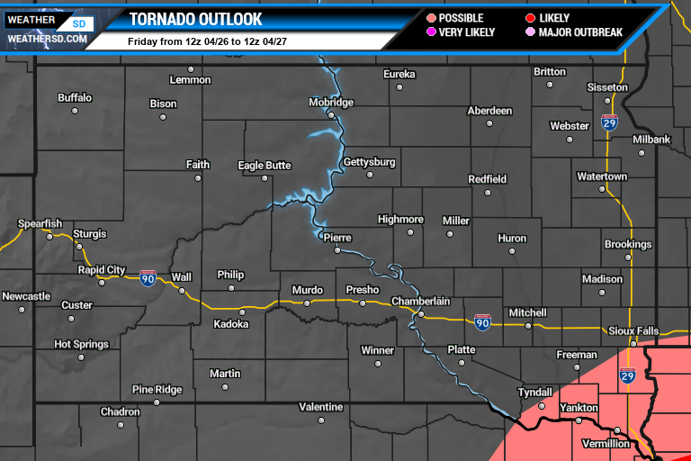
Severe thunderstorms are possible today across southeast South Dakota, with the best risk in the far southeast corner of the state, including Yankton, Clay, and Union County.